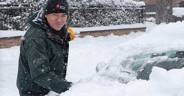
Missourians and Kansans who are enjoying pleasant fall weather also are keeping an eye on what the coming winter may have in store.
Local weather forecasters are saying the region could see sleet and snow this weekend but in the long-range, Several factors will determine how cold and snowy it will be.
With an El Niño, sea surface temperatures in the Pacific Ocean near the equator are in a warming cycle. That warmth caused a tropical storm to magnify into a category 5 hurricane within 24 hours on Tuesday before it hit Mexico. It was the fastest development of a storm observed in the satellite era.
Strangely, those conditions will result in temperatures in the southern U.S. to trend much cooler with increased precipitation, while above normal temperatures hang out in the northern part of the United States.
It all depends on where the jet stream goes, which is expected to hover over Missouri, meaning that forecasters cannot predict what to expect just yet.
This weekend’s weather could be our first sign of how the weather pattern is setting up.
“A shift in that storm track by just a few hundred miles could mean the difference between above-normal precipitation or below-normal precipitation,” Jack Leasor, a University of Missouri climatologist says. “So we certainly have less confidence in that precipitation it can go either way, but we would expect those above-normal temperatures.”
Any sort of precipitation can help alleviate the drought-like conditions parts of the state has experienced for close to two years.
“We really need not a normal or below-normal winter, but we need that precipitation to be above normal to help kind of erase some of the deficits,” he said. “It’s not great to see this kind of uncertainty especially with the precipitation. We would like a clear wet signal, but at this point, there’s not a lot of confidence in that precipitation forecast for winter.”
Based on 30-year El Niño events, temperatures typically are above normal from the November to March time period, according to Leasor.
“Especially if you’re in the northern half of the state, the signal’s a little bit stronger,” Leasor said. “So we’ve got more confidence that temperatures will be warmer and more confidence in that temperature forecast than precipitation right now.”
The Old Farmer’s Almanac is predicting a cold and snowy winter for the heartland, including Kansas and Missouri.
KSHB TV in Kansas City posted on their blog the region could see a mixtur of sleet and snow very soon bought by a storm expected to “track to our north, but bring a strong cold front through Friday. There is a fourth [storm], not formed yet. This is a storm system that could bring a cold rain ending as a mix of sleet and snow this weekend.”
–Alan Goforth | Metro Voice


