
Monday Morning Earthquakes Hit Missouri
Two minor earthquakes rattled the Missouri-Arkansas border early Monday, October 27, but neither quake appears to have been widely felt.
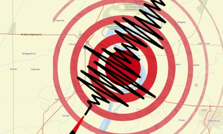
According to the U.S. Geological Survey, the first quake—a magnitude 2.3 tremor—was recorded at 5:09 a.m., roughly seven miles north-northeast of Salem, Arkansas, along Missouri’s southern border. Just six minutes later, a second, smaller quake with a magnitude of 1.9 followed in nearly the same location.
Both quakes were reviewed and confirmed by USGS seismologists, adding another footnote to the region’s persistent, if mostly recently unnoticed, seismic activity.
Southern Missouri and neighboring northeast Arkansas frequently see minor shakes, most commonly triggered by the New Madrid Fault, an extremely active seismic zone stretching along the Missouri bootheel. On average, the region experiences about one earthquake per day, although most quakes rarely make headlines or disrupt daily life.
While both earthquakes were too slight to be felt by most, they serve as reminders of the area’s unique seismic threat. Experts warn that while hundreds of faults crisscross Arkansas, many are not believed to be active.
The state participated in the Great American Shakeout on Oct. 16, reminding residents it’s entirely possible these minor tremors could emerge from less-studied or unnamed faults, keeping both the land—and its people—on alert.
The strongest earthquake believed to have hit the U.S. was the New Madrid Earthquake in 1811-12.
–Metro Voice, with Luke’s data collection assistance.