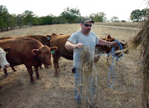
Missouri ‘bullseye’ in this year’s drought

University of Missouri Extension climatologist Pat Guinan says 2012’s drought was far more devastating and widespread – from Utah to Ohio – but this year’s drought conditions are different. He calls Missouri the “bullseye” of the drought.
“Here we are in the middle of July and conditions continue to deteriorate,” he says. “It’s fairly localized but it’s very intense. Iowa, they’ve been getting the rain. Illinois has been getting the rain. You know, maybe eastern Kansas, most of Missouri, northern Arkansas – this is where the most intense dryness has been.”
Guinan says temperatures are expected to moderate in Missouri next week and there might be some rain.
Missourians can report drought conditions directly to the National Drought Monitor to enhance reporting on the ground. Information can be uploaded to the newly-created Missouri Extension Drought Impact Reporter website which includes photos.
“A picture is worth a thousand words,” Guinan says. “When you show an empty livestock pond, when you show burned up lawns or pastures, or you show row crops like corn or soybeans that might be incurring drought stress, what better way than to show a picture of it?”
Information provided by users is shared with the National Drought Impact Reporter – the nation’s first comprehensive database of drought impacts.
Drought happens in a regular cycle across the United States, contrary to media reports that it is related to a change in the world’s overall climate. It is caused by the Jet Stream fluctuates, Sun spots and El Nino and El Nina.


